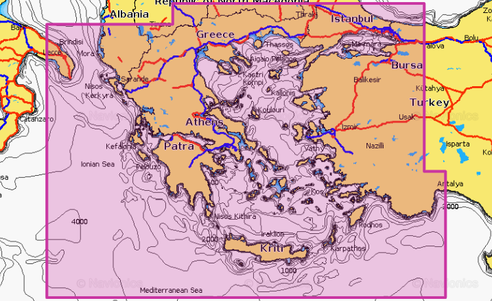
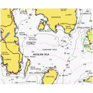
NAVIONICS Platimun+ | Aegean Sea & Sea of Marmara
260.00€
Available on backorder
SKU: MSD/34P+
Category: Marine charts
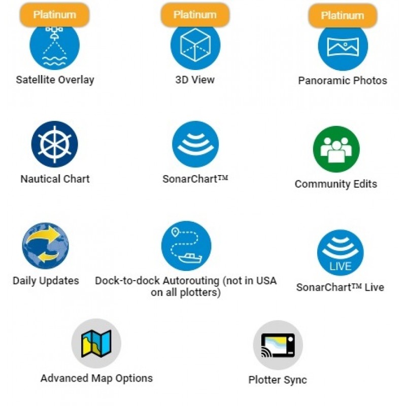
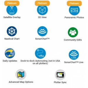
The NAVIONICS PLATINUM+ map charts support the dock-to-dock creation of auto-navigation making it easy even for inexperienced operators to navigate and route plan.
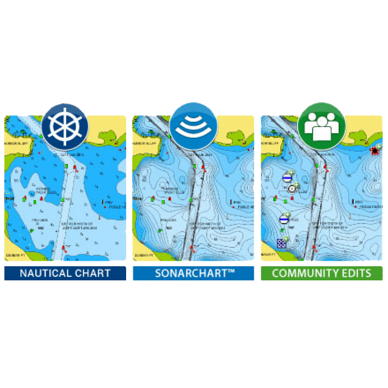
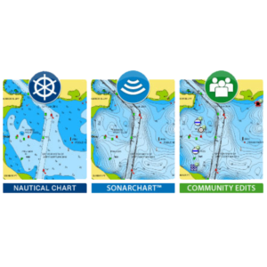
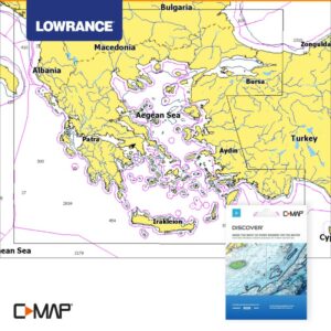
The user friendly menu of the devices gives the operator a detailed presentation of the seabed with special indications at user-defined safety depths, choice of color display per unit of depth and detailed equivalents.
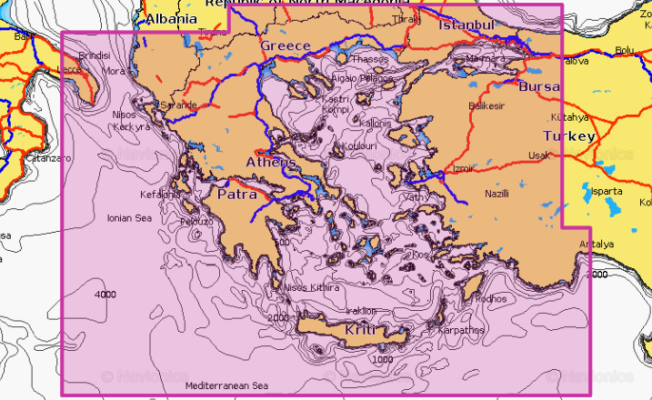
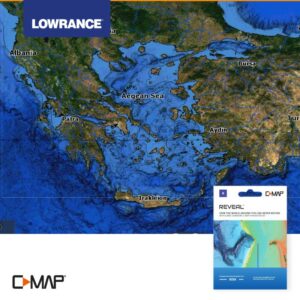
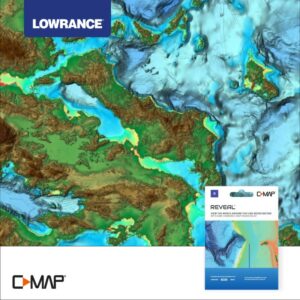
The PLATINUM+ series offers all the content of the NAVIONICS+ series, enhanced with additional viewing options such as shading, satellite coverage with SonarChart shading, 3D viewing and high-resolution panoramic photos.
Related products
248.00€
Marine charts
163.00€
Marine charts
248.00€
Marine charts
168.00€
