C-MAP Reveal | East Mediterranean, Black & Caspian Seas-MAX-N+
248.00€

C-MAP® marine charts are generally considered to be the most complete and up-to-date.
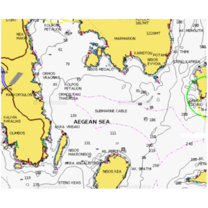
Their upgraded features include High Resolution Bathymetry, Easy Routing, aerial photographs of marinas, as well as useful information on the seabed, shipwrecks and ports.
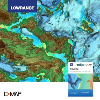
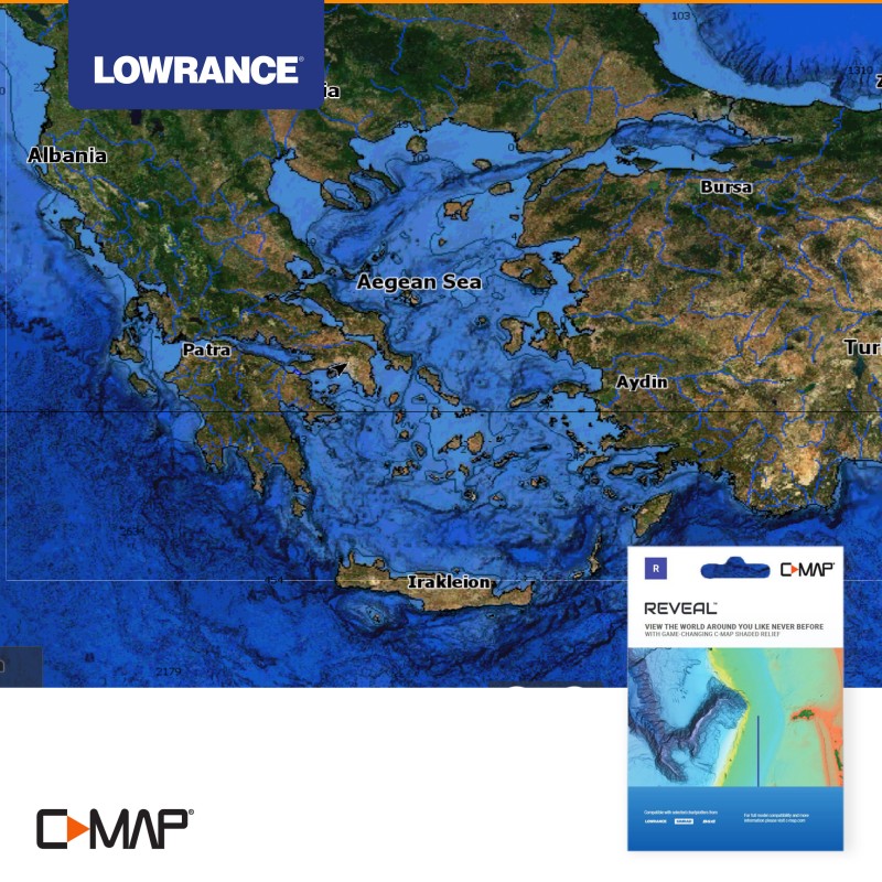
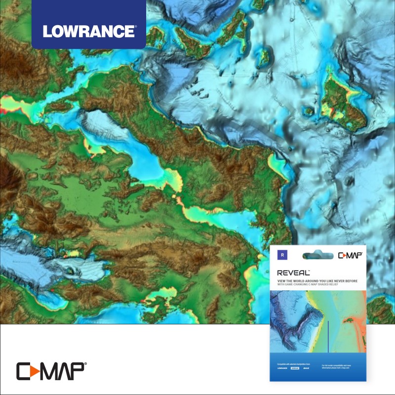
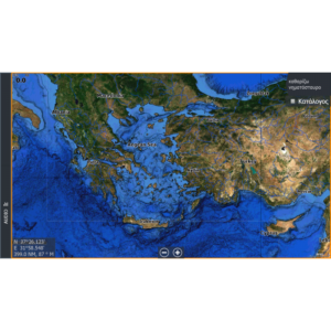
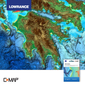
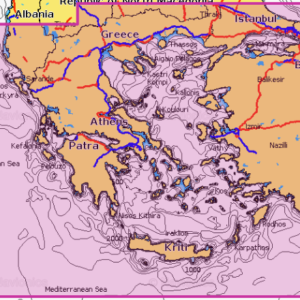
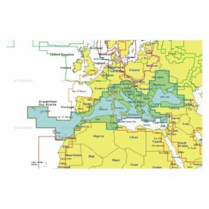
The C-MAP® Reveal version (code M-EM-Y111-MS) comes with additional features and amazing mapping illustrations. The new generation of high-precision and high-resolution digital maps offers many new features and significant improvements over previous versions. t has nationwide coverage, all the features of the C-MAP® DISCOVER series and in addition, port photos, the possibility of overlay with satellite display (Satellite Overlay) as well as the new display on the seabed (Shaded Relief), which gives a new perspective to the mapping!
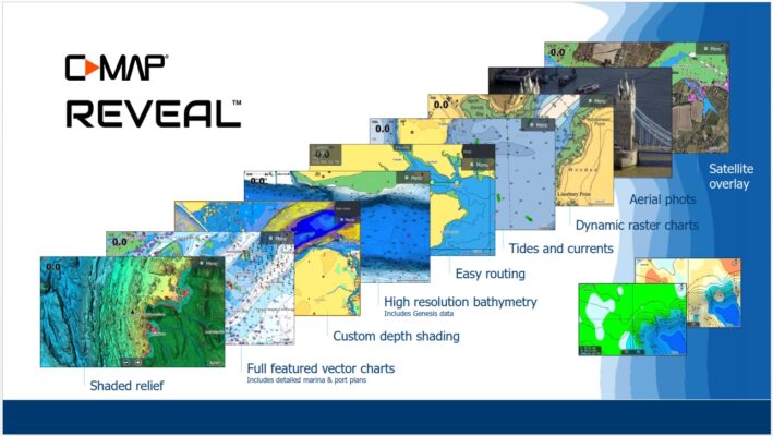
The user friendly menu of the devices gives the operator a detailed presentation of the seabed with special indications at user-defined safety depths, choice of color display per unit of depth and detailed equivalents.
So having a new technology LOWRANCE® device with built-in GPS and the detailed underwater map of C-MAP®, safe navigation becomes easy!
Related products
Marine charts
Marine charts
Marine charts
Marine charts

