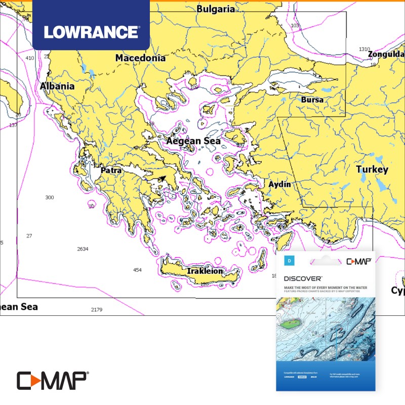
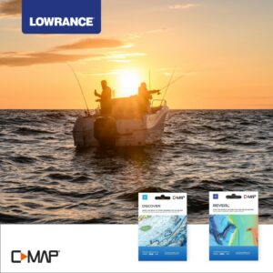
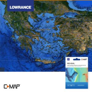
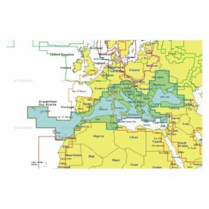
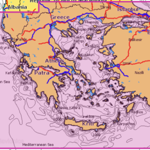
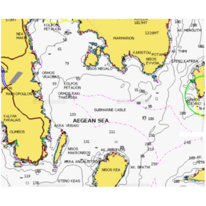
C-MAP Discover | Aegean Sea & Sea Of Marmara-MAX-N+
163.00€
SKU: M-EM-Y204-MS
Category: Marine charts

C-MAP® marine charts are generally considered to be the most complete and up-to-date.
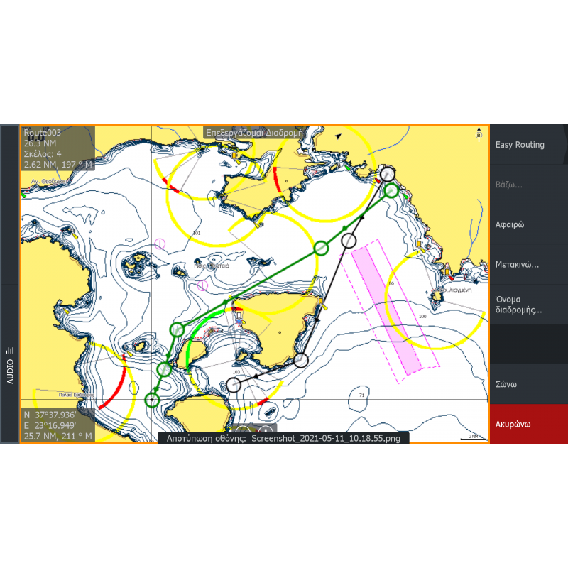
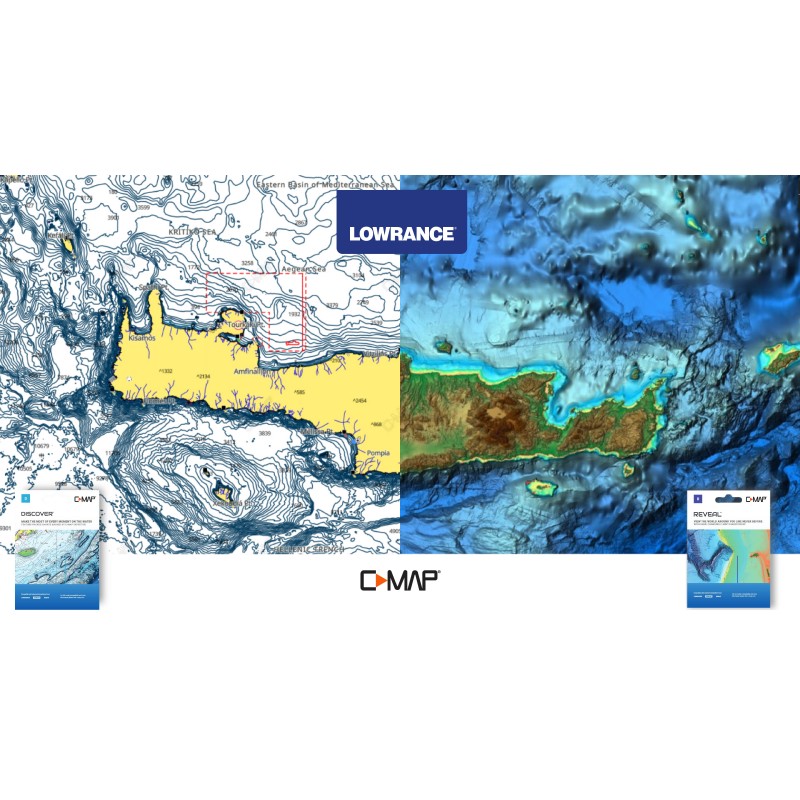
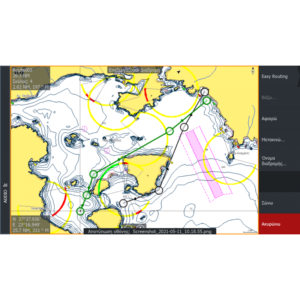
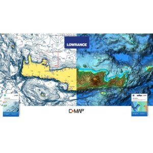
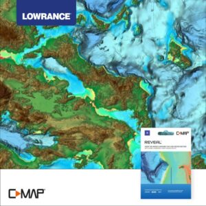
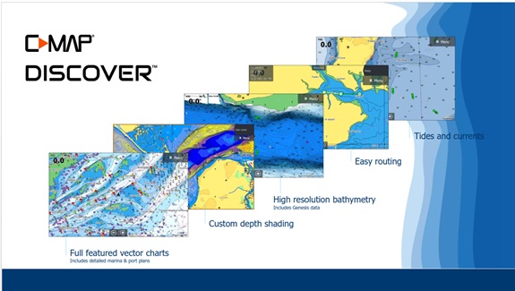
Their upgraded features include High Resolution Bathymetry, Easy Routing, aerial photographs of marinas, as well as useful information on the seabed, shipwrecks and ports.
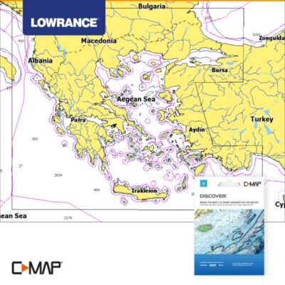
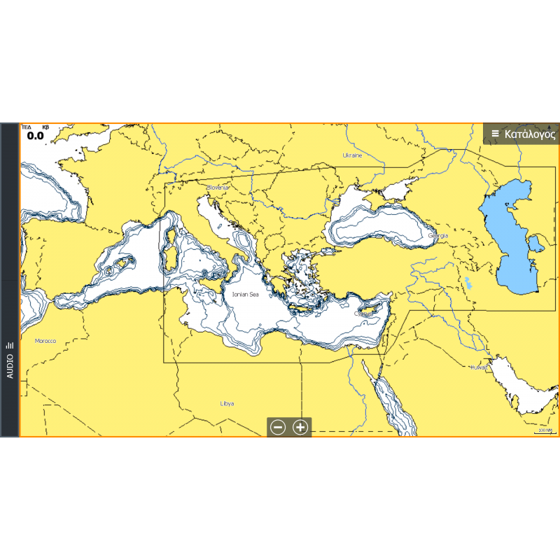
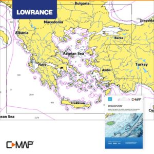
The C-MAP® DISCOVER version (code M-EM-Y204MS), has upgraded nationwide coverage and includes all the basic features of C-MAP® at a very low cost. It offers an option for traditional nautical charts (Full vector charts) and is addressed to all types of use (navigation / fishing / diving).
Related products
248.00€
Marine charts
248.00€
Marine charts
260.00€
Marine charts
168.00€

